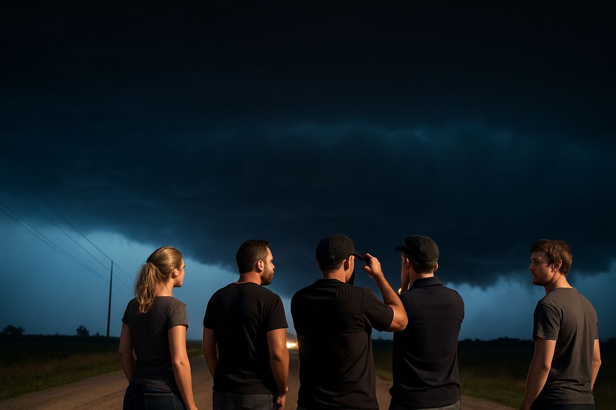
A Multi-Day Tornado Outbreak Devastates the American Heartland
A catastrophic multi-day severe weather outbreak, spanning over 1,500 miles from Texas to the Northeast, has left at least eight people dead and a trail of destruction across America's Heartland. Between Thursday and Saturday, at least nine confirmed tornadoes—ranging from EF-0 to EF-3 on the Enhanced Fujita scale—tore through communities in the Midwest and Plains, leveling homes, snapping trees, and leaving neighborhoods in ruins. The storm system impacted over 90 million people, prompting state of emergency declarations in Michigan, Texas, and Missouri as residents and emergency crews begin the daunting task of recovery.
The human toll is profound. In southwest Michigan, the Cass County Sheriff’s Office identified 12-year-old Silas Anderson as one of the victims; he was reported missing during the storms, found injured, and later died at a hospital. In Major County, Oklahoma, a mother and daughter were tragically killed on Thursday. On the ground, the scale of devastation is staggering. In Union City, Michigan, an EF-3 tornado with winds up to 150 mph carved a path of destruction, ripping roofs from homes and churches, scattering debris, and completely leveling some structures. FOX Weather correspondents documented similar scenes of ruin in Oklahoma, where schools sustained significant damage, forcing closures.

Mapping the Destruction: Paths, Intensity, and Official Response
As the immediate danger passed, the National Weather Service (NWS) began the critical work of damage surveys to confirm the number, paths, and intensity of the tornadoes. These surveys are essential for understanding the event's full scope and for improving future forecasts. Initial assessments confirmed four separate tornadoes in Michigan alone on Friday, with the EF-3 that struck Union City being the most powerful. The process is ongoing, and the NWS has indicated that more tornadoes may be confirmed as surveys continue, potentially raising the official count from the initial nine.
The governmental response has been swift at the state level. Michigan Governor Gretchen Whitmer declared a State of Emergency for the impacted counties and toured the devastated communities with the Michigan State Police on Sunday. Similar emergency declarations were issued in Texas and Missouri. However, the outbreak has also triggered scrutiny of the warning systems meant to protect the public. In a significant development, Governor Whitmer's office has called for an investigation into why the National Weather Service did not issue a tornado watch for parts of Michigan ahead of the deadly storms. This question strikes at the heart of public trust and preparedness during increasingly volatile severe weather seasons.
The Enhanced Fujita Scale: Understanding Tornado Power
To comprehend the force unleashed during this outbreak, it's crucial to understand the Enhanced Fujita (EF) scale. This is the standard metric for rating tornado intensity based on the damage they cause. The scale runs from EF-0 (65-85 mph winds, causing light damage like broken tree branches) to EF-5 (over 200 mph winds, capable of leveling well-built houses and sweeping foundations clean). The tornadoes in this recent event were rated up to EF-3, which denotes "severe" damage with wind speeds of 136-165 mph.
An EF-3 tornado, like the one that hit Union City, has the power to destroy entire stories of well-constructed houses, overturn trains, uproot most trees in a forest, and hurl heavy cars considerable distances. The fact that this outbreak produced multiple tornadoes across this intensity spectrum—from EF-0 to EF-3—over several days and a vast geographic area underscores its severity. It was not a single, isolated event but a sustained assault by a powerful storm system capable of generating destructive vortices across multiple states.
Historical Context and a Changing Severe Weather Landscape
While tornadoes are a perennial threat in the Central U.S., known colloquially as "Tornado Alley," this outbreak exhibits characteristics that align with concerning modern trends. Major, multi-day tornado outbreaks that affect several states are not unprecedented; history is marked by devastating events like the 1974 Super Outbreak or the 2011 outbreak across the Southeastern U.S. However, meteorologists and climatologists are observing shifts, including a potential eastward migration of higher tornado frequency and an expansion of the traditional severe weather season.
This event's timing, early in the conventional peak season, and its broad geographic footprint from the Plains to the Great Lakes, fit into a pattern of less predictable and more widespread severe weather episodes. Furthermore, the storm system's ability to produce significant tornadoes outside the core of traditional Tornado Alley (as seen in Michigan) poses new challenges for public awareness and warning dissemination in regions where residents may be less accustomed to such extreme threats. The outbreak occurred as NOAA's Storm Prediction Center debuted a revamp to its severe weather outlooks this season, aiming to provide more nuanced risk categories—a tool that will be tested and refined by events like this one.
The Critical Role of the National Weather Service
The National Weather Service is the backbone of the nation's severe weather warning infrastructure. Its meteorologists analyze data from Doppler radar, satellite, and ground observations to issue watches (which indicate conditions are favorable for severe weather over a broad area) and warnings (which mean a dangerous event is imminent or occurring and immediate action is needed). The call from Michigan's governor for a probe into the lack of a tornado watch highlights the immense pressure and complex calculus involved in these decisions. A missed watch can leave communities unprepared, while over-issuing watches can lead to public complacency—a phenomenon known as "warning fatigue." The aftermath of this outbreak will likely lead to internal reviews and potentially changes in protocol, especially for regions where the tornado threat is perceived as less common.
What This Means For You
This devastating outbreak serves as a critical, and tragic, reminder that severe weather can strike with little notice, far from its stereotypical locations, and in clusters. For individuals and families, the key takeaway is that generic awareness is insufficient; proactive, specific preparedness is essential. First, know your primary sources of warning. Do not rely solely on outdoor sirens, which are designed for people outside. Enable Wireless Emergency Alerts (WEAs) on your mobile phone and have a NOAA Weather Radio with a battery backup in your home. These provide the most direct, life-saving alerts. Second, understand the difference between a watch and a warning. A tornado watch means "be prepared"—conditions are right for tornadoes to form. A tornado warning means "take action now"—a tornado has been sighted or indicated by radar. When a warning is issued for your area, your only action should be to immediately seek shelter in a basement, storm cellar, or an interior room on the lowest floor, away from windows.
Beyond immediate response, this event underscores the importance of community resilience and personal contingency planning. Speak with your family about a severe weather plan: where is your safe room? Where will you meet if separated? What is in your emergency kit (which should include water, non-perishable food, a flashlight, batteries, and first-aid supplies)? Furthermore, if you live in an area historically considered "low risk," such as parts of the Great Lakes or Northeast, it is time to reassess. Changing weather patterns mean traditional maps of risk are evolving. Your local news and weather providers are your best resource for understanding the specific threats in your region. Investing time in preparedness today is the most effective action you can take to protect yourself and your loved ones when the next outbreak inevitably occurs.