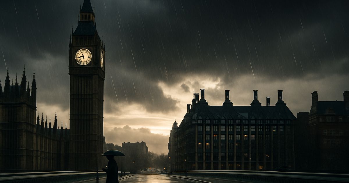
A Damp Outlook for the Capital
Londoners are facing a familiar and unwelcome forecast: a swift return to persistent rain and overcast skies following a fleeting glimpse of sunshine. According to detailed predictions from the Met Office and corroborated by BBC Weather and WX Charts, the capital is set for a significant shift from a bright, mild Wednesday on February 25th to a prolonged period of wet and windy conditions starting Thursday, February 26th. This pattern, detailed in hour-by-hour and extended forecasts, signals the end of a brief dry interlude and a return to the damp, unsettled weather characteristic of a British late winter. The forecast is not for a single day of showers but for what one source describes as a "bleak 11 days" for London, with precipitation expected almost daily from February 26th through early March.
The specific timeline shows a stark contrast. On Wednesday, February 25th, London is expected to enjoy sunny conditions with temperatures peaking at a relatively warm 16°C, accompanied by light winds. This serves as the calm before the storm. By 8pm on the preceding Monday, February 23rd, the Met Office forecast indicates a 50% chance of light rain, with temperatures holding steady at 12°C. The deterioration becomes entrenched from Thursday onward, with BBC Weather predicting "light rain and a moderate breeze" for February 26th (High 14°C, Low 11°C) and the Met Office warning of a "wet and windy" start to Friday, February 27th. WX Charts data suggests this day could be particularly miserable, forecasting heavy rain around midnight with precipitation rates between 0.1mm and 0.4mm per hour.

Decoding the Forecast: Sources and Specifics
The weather narrative is built from a confluence of authoritative and specialist forecasting services. The primary source is the UK's national meteorological service, the Met Office. Founded in 1854, the Met Office provides official weather forecasts for the UK, leveraging a vast network of observations, supercomputers, and scientific expertise. Its forecast for London forms the backbone of the reported story, offering both broad trends and granular, hour-by-hour predictions for factors like cloud cover, temperature, wind speed, and probability of precipitation.
This official outlook is supplemented by analyses from BBC Weather, which disseminates Met Office data to a wide public audience, and WX Charts, a specialised service known for its visual weather model data. WX Charts provides map-based forecasts that illustrate the intensity and movement of weather systems, such as the predicted deluge for February 27th. The convergence of these sources—a national service, a public broadcaster, and a data visualisation specialist—creates a robust and multi-faceted picture of the impending weather. The forecasts are remarkably aligned, all pointing to a sustained period of rain beginning on February 26th and continuing with only minor variations (drizzle, light rain showers) through the following week.
The Meteorological Context: Late Winter Volatility
This pattern of brief sunny spells followed by extended rainy periods is not anomalous for the UK in late February and early March. This time of year is historically transitional, caught between the lingering chill of winter and the nascent warmth of spring. The position of the jet stream—a fast-flowing ribbon of air high in the atmosphere—is a critical driver. When the jet stream dips south over the UK, it steers Atlantic low-pressure systems directly towards the British Isles, bringing the classic sequence of wind, cloud, and rain that defines much of the UK's weather.
The forecast for London from February 26th onwards is a textbook example of this setup. The prediction of a "wet and windy" start to Friday, followed by cooler conditions with showers, strongly suggests the passage of an active weather front associated with a low-pressure system. The south-westerly wind direction mentioned in the Met Office's hour-by-hour forecast for February 23rd is also telling; prevailing south-westerlies are the primary conveyor belt for moist Atlantic air. When this maritime tropical air mass meets slightly cooler conditions over the UK, it results in the cloud formation and precipitation detailed in the forecasts. The humidity levels predicted to range from 70% to 85% further underscore the saturated nature of the airmass poised to envelop the city.
Comparing Recent Weather Trends
While the source material does not provide specific historical data for comparison, the tone of the reports—phrases like "more misery" and "bleak return"—implies a contrast with a potentially drier or sunnier period immediately prior. The dramatic shift from a 16°C sunny day to 11 consecutive days of predicted rain highlights the sharp variability that can occur. This volatility can be linked to broader climatic patterns. While no single weather event can be directly attributed to climate change, the UK's Climate Change Committee notes that winters in the UK are becoming warmer and wetter on average. Increased sea surface temperatures in the Atlantic can potentially fuel more intense rainfall events, though the forecast in question points more towards persistent, light to moderate rain rather than an extreme downpour.
Implications for London and Its Residents
A forecast of 11 days of rain has tangible impacts across multiple facets of life in the capital. The most immediate effect is on transport and infrastructure. Persistent rain increases the risk of surface water flooding on roads, leading to slower traffic, longer commute times, and potential disruptions to bus services. London Underground stations can become congested with damp passengers, and Network Rail may need to impose speed restrictions on above-ground lines for safety, causing delays. The mention of "breezy" and "windy" conditions compounds these issues, raising the risk of fallen branches or debris on lines and roads.
For business and leisure, the outlook is equally dampening. Outdoor hospitality, from pub gardens to food markets, will see a significant drop in footfall. Retail foot traffic in central London may also decline as people opt to stay indoors. Cultural and sporting events scheduled for this period, especially those outdoors, face cancellations or severely reduced attendance. On a personal level, the prolonged grey and wet weather can affect public mood and well-being. The contrast with the promised sunny 16°C day may amplify feelings of frustration, contributing to what is sometimes colloquially called "weather malaise." Residents will need to adjust daily routines, ensuring waterproof clothing and planning for indoor alternatives for exercise and social activities.
Planning and Preparedness
The detailed nature of these forecasts, particularly the hour-by-hour breakdown, allows for a degree of public preparedness. Knowing that rain is likely from 8pm on a specific evening allows individuals to plan travel accordingly. The extended 11-day outlook, while subject to the inherent uncertainty of longer-range forecasts, provides a valuable signal for event planners, construction managers, and local authorities. It allows for the proactive deployment of drainage checks, gully emptying, and staffing for potential weather-related incidents. For the average Londoner, it serves as a prompt to check flood risk areas, ensure gutters are clear, and perhaps schedule that cinema trip or museum visit they've been postponing.
What to Watch in the Coming Days
The primary focus for Londoners will be the accuracy and evolution of the forecast as the week progresses. While meteorological models are highly advanced, the exact timing and intensity of rainfall can shift. Key details to monitor include any updates to the Friday, February 27th forecast, which multiple sources flag as potentially the wettest day. Will the predicted "heavy rain at around midnight" materialise as shown on WX Charts, and will it lead to any localised flooding advisories from the Environment Agency? The public should watch for official warnings from the Met Office, which could escalate from a standard forecast to a yellow or amber weather warning for rain if the situation is deemed to have greater impact potential.
Beyond the immediate event, this weather pattern raises questions about the remainder of the season. Will this wet spell mark a definitive turn towards a damp spring, or is it simply a final flourish of winter unsettledness? Observing the behaviour of the jet stream in subsequent forecasts will be key. A shift northward would allow high pressure to build, bringing drier and more settled conditions. A persistent southerly track would mean more of the same. Furthermore, the impact of this sustained wet period on London's environment is worth noting. It will replenish groundwater and reservoir stocks, but saturated ground also increases the risk of river flooding if a subsequent intense rainfall event occurs.
A Testament to Modern Forecasting
The detailed picture of London's impending weather, from hour-by-hour cloud cover to 11-day precipitation trends, is a remarkable demonstration of modern meteorology's capabilities. It allows a city of nearly nine million people to prepare, adapt, and mitigate the inconveniences of the natural world. While the forecast itself may be gloomy, the ability to predict it with such specificity is a significant scientific achievement. The convergence of data from the Met Office, BBC Weather, and WX Charts provides a comprehensive and accessible warning: London's brief sunny respite is ending, and a characteristically damp and blustery late-winter pattern is set to take hold. The umbrellas, waterproofs, and indoor plans should be readied for what looks to be a sustained return of classic British weather.