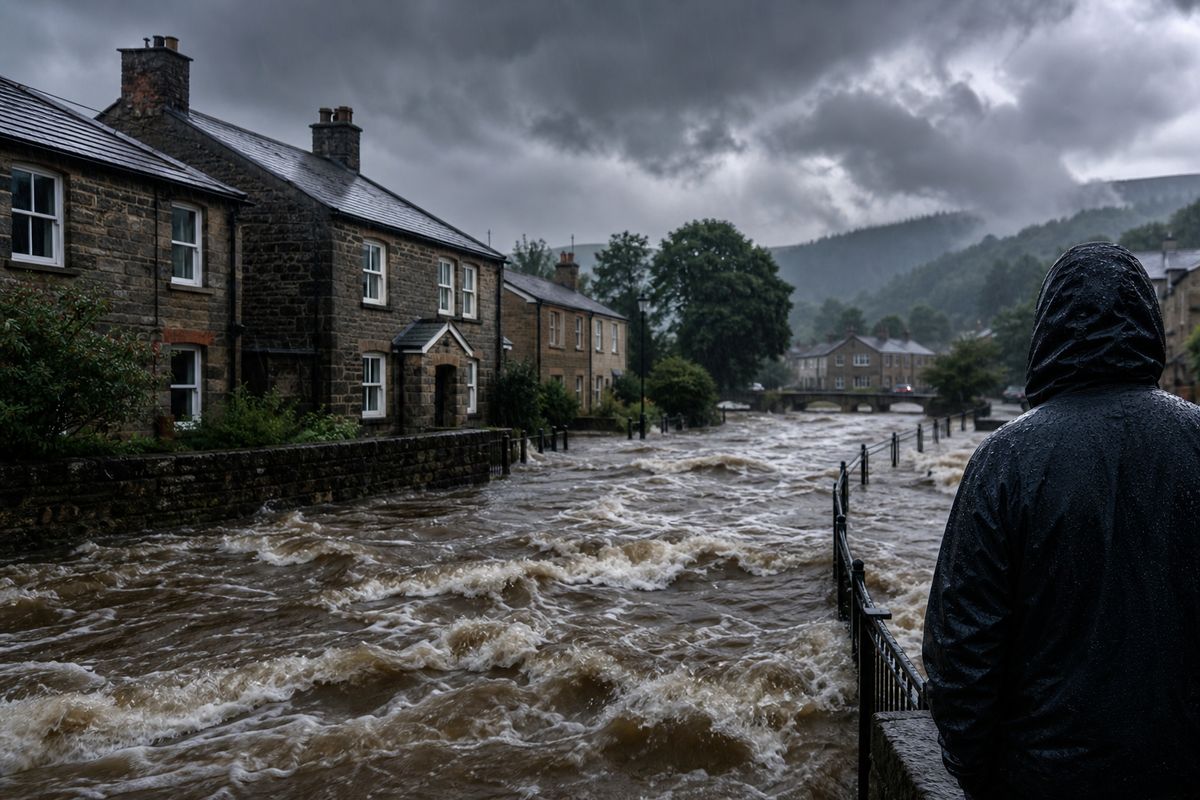
UK Flood Warnings Top 90 as Heatwave Gives Way to Torrential Rain
The United Kingdom is bracing for more flooding today, 18 July 2026, with more than 90 flood warnings in place across England, Wales, and Scotland. The warnings, issued by the Environment Agency and Natural Resources Wales, come after a sudden and dramatic shift from a blistering heatwave to days of relentless downpours driven by Storm Chandra. Forecasters say there is "no sign" of a return to dry weather in the coming days, leaving communities on high alert for further flooding and travel disruption.
This is not a minor weather event. The sheer number of active warnings, combined with dozens of less severe flood alerts, marks one of the most widespread flood-risk events of the summer. Rivers have burst their banks in parts of Yorkshire, the Midlands, and the South West. Urban areas are struggling with surface water flooding as drainage systems are overwhelmed by the sudden volume of rain. The situation is being compounded by already saturated ground from earlier wet spells earlier in the summer.
Storm Chandra, which arrived abruptly after the nation sweltered through a red heat warning just days ago, has dumped a month's worth of rain in some areas in less than 48 hours. The Met Office has issued amber and yellow rain warnings covering large swathes of the country, with more downpours expected overnight and into the weekend. The rapid onset has caught many off guard, especially those who had just started to enjoy the prolonged hot spell.

From Red Heat Warning to Flood Alerts: A Week of Extremes
Just last week, the UK was in the grip of a severe heatwave. Temperatures exceeded 30°C in parts of southern England, and a red heat warning was issued for the first time this year. Public health warnings urged people to stay indoors, avoid travel, and check on vulnerable neighbours. The heat was so intense that transport networks slowed, and emergency services prepared for heatstroke cases. Then, almost overnight, the weather flipped.
Storm Chandra, named by the Met Office late on 14 July, swept in from the Atlantic, colliding with the warm, humid air left by the heatwave. That collision created a perfect storm for extreme rainfall. The result has been chaotic: flooded homes, closed roads, cancelled trains, and dozens of rescue callouts. In Sheffield, fire crews rescued people from cars trapped in floodwater. In Gloucestershire, the Environment Agency deployed temporary flood barriers. The contrast could hardly be starker.
This swing from one extreme to another is not unprecedented in the UK's often unpredictable weather, but the speed and severity of the transition have raised eyebrows. Climate scientists have long warned that a warming atmosphere holds more moisture, making rainfall events more intense. The heatwave may have primed the ground for flooding too, as dry, baked soil can become hydrophobic, repelling water rather than absorbing it, leading to rapid runoff.
The Science Behind the Sudden Shift
What caused such a dramatic change? The answer lies in the jet stream. During the heatwave, the jet stream was positioned to the north of the UK, allowing hot air from the south to dominate. But over the weekend, it buckled and sank southwards, pulling in a deep area of low pressure that became Storm Chandra. This low-pressure system then stalled over the country, pumping moist air from the Atlantic into the very same regions that had just experienced extreme heat.
The result is a classic "blocking" pattern, where weather systems refuse to move on. The same pattern has been observed in previous major flood events, including the 2007 summer floods and the 2015 Storm Desmond. However, the juxtaposition with an immediate preceding heatwave adds a new dimension. Researchers at the University of Oxford have noted that such rapid switches could become more common as climate change amplifies weather variability.
Another factor is the urban heat island effect. Cities that heated up during the heatwave now face intense convection as warm air rises rapidly, triggering thunderstorms. These storms have dumped hail and lightning alongside the rain, adding to the hazard. Forecasters are monitoring the situation hour by hour, but the models show little chance of a break before the middle of next week.
What's Next: More Rain or Another Heatwave?
Looking ahead, the immediate forecast offers little relief. The Met Office's long-range outlook suggests that the unsettled pattern could persist for at least another seven to ten days. There is no sign of a high-pressure system building to push Storm Chandra away. Instead, a series of further low-pressure systems are lined up in the Atlantic, ready to sweep across the UK. That means more rain, more flood warnings, and a continued risk of travel disruption.
But there is an intriguing counter-narrative. Some of the same models that show persistent rain also hint at a potential return of hot weather later in the month. A few forecasters, including the BBC Weather team, have pointed to the possibility of another heatwave in early August, with temperatures again exceeding 30°C. This is far from certain, but it reflects the volatile nature of the current global weather pattern, dominated by a strong El Niño-like configuration in the Pacific.
For now, the priority is flood response. The Environment Agency has teams working around the clock to maintain defences and issue updates. The government has activated emergency planning cells in the worst-affected regions. For residents, the advice is clear: avoid floodwater, prepare a grab bag if you live in a flood-risk area, and stay tuned to local warnings. The situation could change quickly, and the next few days are critical.
Practical Advice for Residents and Travelers
If you are in an area with a flood warning, do not ignore it. Floodwater can be deceptively dangerous, containing hidden debris, sewage, and strong currents. Just six inches of moving water can knock an adult off their feet. If you must travel, check road and rail conditions before setting out. Many routes are already closed or reduced to single lanes due to flooding. The AA and RAC have reported a surge in callouts for vehicles stuck in floodwater.
For those who experienced the heatwave just days ago, the psychological whiplash is real. Elderly and vulnerable people who were advised to stay cool now need to stay dry and warm. Charities like Age UK have urged neighbours to check in on those who may be isolated by the floods. The NHS has warned that the sudden drop in temperature, combined with damp conditions, could increase respiratory illnesses.
Businesses too are feeling the strain. Hospitality venues that were packed during the heatwave are now dealing with flooded premises and cancelled events. Farmers are assessing crop damage from both the drought-like heat and the subsequent deluge. The insurance industry is bracing for claims, with early estimates suggesting the combined cost of the heatwave and floods could exceed £1 billion. This is a stark reminder that extreme weather does not respect seasons or schedules.